- Applications
- Tools
Hiker- Compass & Speedometer
Images


Introduction
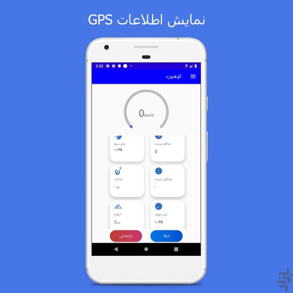
The present program represents information about the speed (speedometer) , traveled distance, altitude and etc. in addition it has a compass.
Speed: Speed in this app, you can see instantly or the average. The most speed will be registered in the fastest field.
Height: You can view the altitude (height above sea level).
Accuracy: In this section you can see the amount of accuracy. This program takes the information from GPS, so it is not accurate.
Geographical coordinates: You can view your latitude and longitude location check.
Satellites: You can see the number of available satellites plus the number of connected ones.
Distance: The distance traveled by you.
Units: You can get above parameters in different units (meter, foot, mile, and kilometer).
Compass: To use the compass please select your device calibrated (to calibrate act as shown in guideline on the program) and the device should be placed horizontally and keep away from magnet.


Related Applications
Users Also Installed
Similar Applications


